Satellites and Weather Maps
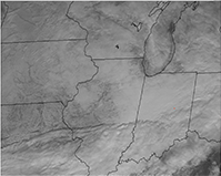
Regional Satellite Clicking on this link will open the satellite image in a new page. This satellite picture is automatically refreshed every fifteen minutes. It automatically switches to IR at sunset and back to VIS at sunrise. A red dot marks the location of Anderson, IN. |
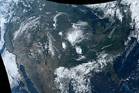
Continental Vis Satellite Loop This link provides a two-hour loop of the full 48 states. There are controls at the top of the page. This view only works during hours of daylight. |
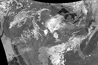
Continental IR Satellite Loop This link provides a two-hour loop of the full 48 states. There are controls at the top of the page. This view works all hours of day and night. |
||
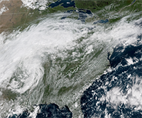
GOES East Satellite-Great Lakes This link takes you to the GOES-East satellite page with the Great Lakes "GeoColor" animated image selected. Notice the drop-down menus in the blue bar near the top of this page. There are a multitude of options from which to select. The "CONUS Views" and "Regional Views" are especially useful. |
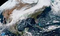
GOES East Satellite-CONUS This link takes you to the GOES-East satellite page with the Continental US "GeoColor" 22 hour animated image selected. Clicking on the animated image will open one image in an overlay layer. As you move the cursor about this image, it will be magnified and move according to where the cursor is located. Hint: Stop the animation by clicking on the track above the animated image. Drag the slider to the time you want to see enlarged. |
All Perils Display This link will produce the NWS Watch, Warning, and Advisory Display. Red dots indicate counties under Tornado Warnings, Blue dots indicate counties under a Severe Thunderstorm Warnings. |
||

Current Weather Map North America Weather Map produced from observations taken within the last six hours. |
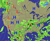
Forecast Weather Map Forecast North America Weather Map |
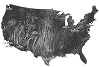
Continental Wind Map Animated display of current winds. |
Our mailing address is:
Anderson Repeater Club
P. O. Box 615
Anderson, IN 46015
You may send E-mail to our webmaster, Tim Galbraith, KB9VE, at
